Pendle Hill

Looking towards ‘Big End’ on Pendle Hill
Location: SD 805 414
Getting there: The easiest and by far most popular approaches are from the car park in Barley - either via the steep steps to the summit, or via Ogden Clough and the Ogden reservoirs.
Paid parking in Barley, with cafe in the car park, and pub in the village.
Height (at trig point on summit): 557m
Prominence: 395m
Map: OL21 - South Pennines. Note other maps may be needed if approaching from the west.
Literally meaning ‘Hill Hill Hill’, this isolated summit’s recognisable shape and seemingly ever-presence on the horizon throughout the Yorkshire Dales, West Pennine Moors, Lancashire, the Peak District means it certainly lives up to its name.
The hill and area surrounding it are steeped in culture. Burial mounds dating back to the Bronze Age have been located on the summit, but Pendle Hill and its surrounding area is most famous for providing the dramatic backdrop for the infamous Pendle ‘witches’.
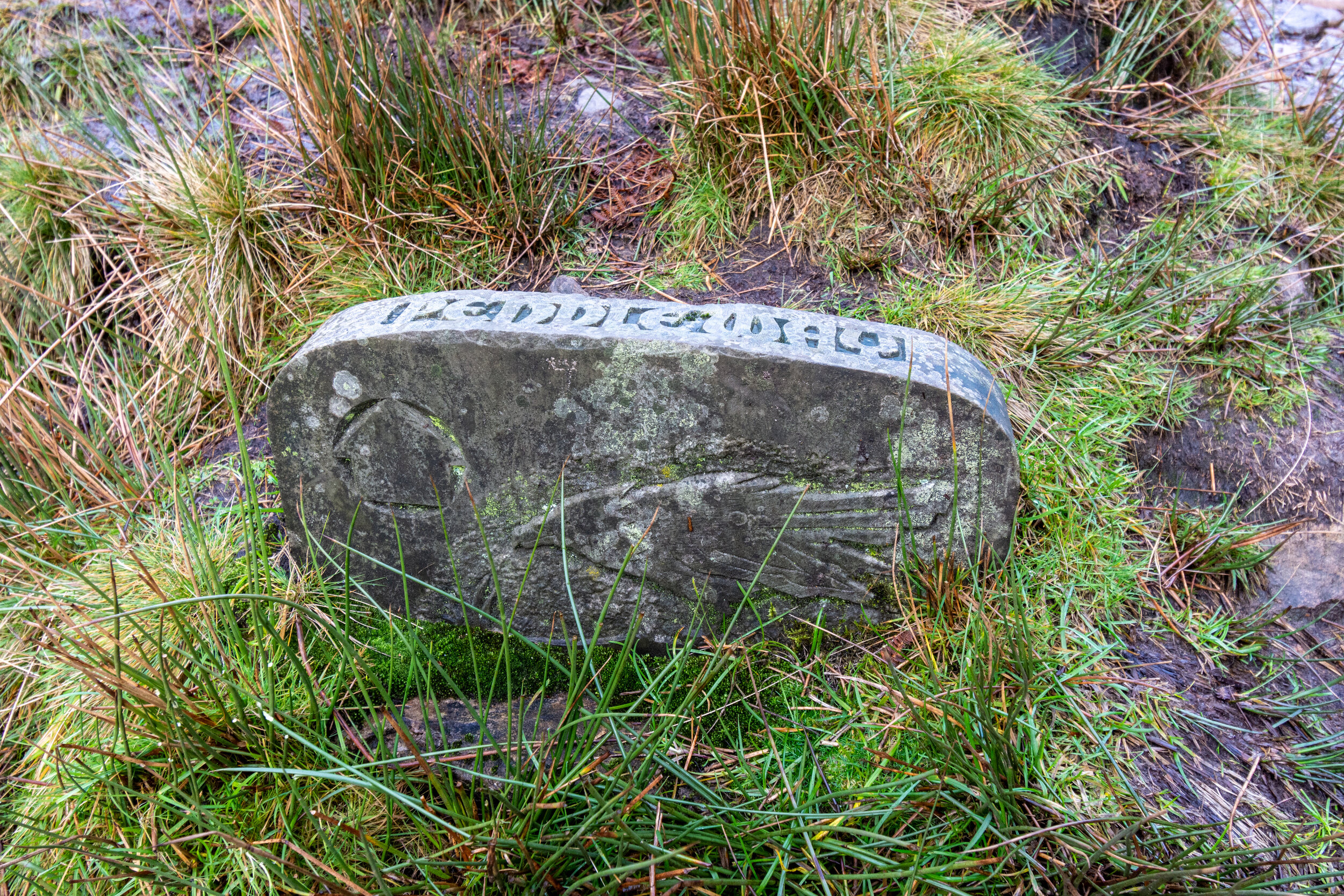
Signs of the witches are all around Pendle Hill
Against a backdrop of religious and political oppression, ten women and two men were tried for witchcraft in 1612, all but one were found guilty and executed. Some had been openly trying to make a living as ‘witches’ - known as local healers who accepted payments for ‘magic’ cure, a profession which was common throughout the region, which at the time was seen as a heretical and somewhat untamed land.
During the trials however, wild evidence was presented based on hearsay and fantasy. The witches were accused from cursing livestock, bewitching and murdering people, turning beer stale, amongst other baseless claims. Some admitted their ‘guilt’, genuinely convinced they were witches, though most protested their innocence to the end.
Annually, the events are commemorated on Halloween with an unofficial pilgrimage to the summit of Pendle Hill.
Its association with witches has given the hill an association with the supernatural, with a number of books and TV shows based there over the years.

A snow-covered Pendle Hill, seen from Keighley Moor
Like most hills in the nearby Yorkshire Dales and Peak District, Pendle Hill sits on a layer of limestone, topped with Millstone Grit, and the natural environment reflects this, with peat and heather dominating the summit.
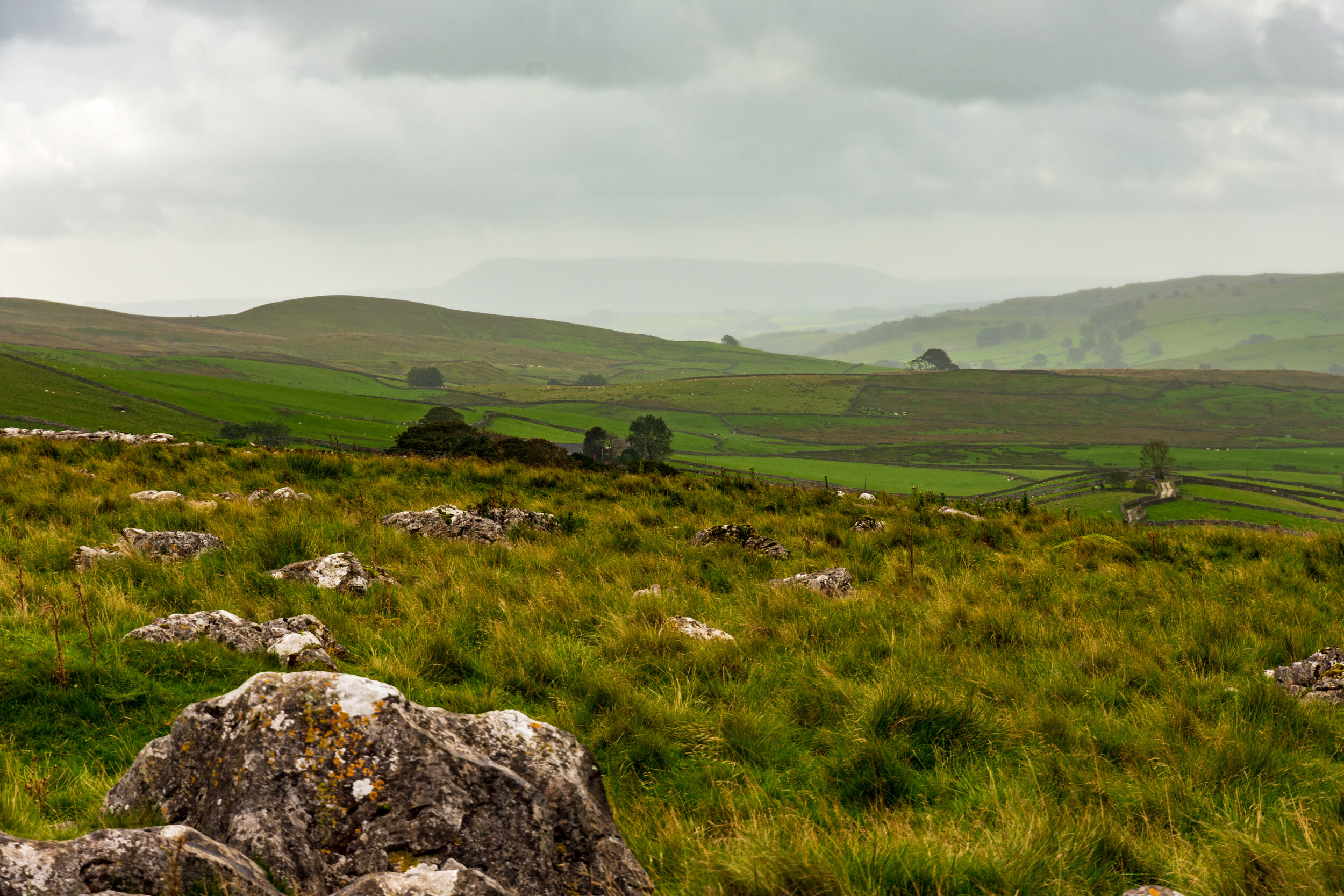
It has an unusually large prominence for its height, being the only peak of significance in several directions - which gives you a fantastic vantage point stretching to Ingleborough in the north, Simon’s Seat and The Chevin in the east, the Peak District to the south and Snowdonia in the west.

Lower Ogden Reservoir, on the climb up Pendle Hill
The easiest approach is from the village of Barley to the east. From here, you can do a circular walk, following Ogden Clough past both Lower Ogden and Upper Ogden reservoirs, before a steep climb up Boar Clough to the summit, returning by one of the many paths down the steep ‘side’of Big End. The easiest path is probably the stepped path starting at the north of the plateau.

The view from the steep slopes of Big End on Pendle Hill
There are also approaches from both the north and from the west, but they require climbing the extremely steep sides. They are however likely to be much quieter.
Pendle Hill in the distance, seen from Pen-Y-Ghent


