Ill Crag

The stunning view from the Ill Crag summit out towards Eskdale
Location (summit): NY 223 074
Getting there: Most convenient to take in during an ascent of Scafell Pike from Langdale. Also an opportunity for a stunning, remote trek along the river Esk, and a steep climb via Little Narrowcove.
Height (highest point, unmarked (2m from cairn): 935m
Prominence: 57m
Map: OL6 (Lake District South Western Area).
This often-neglected buttress lies less than 1km from the summit of England’s highest mountain, but tough terrain, its lack of classification as a Wainwright, and the fact that a detour from a main route to Scafell Pike is required, means anyone who takes the time to visit the summit will often have it to themselves, along with spectacular views of the seldom-visited Eskdale, out to Morecambe Bay.
Despite its quietness, Ill Crag is the 4th highest peak in England.
The crag is reached via a detour from the path between Scafell Pike from Esk Hause. There is no path to the cairn at the head of the buttress - like much of the route past Broad Crag, you’ll be clambering over rocks to reach your destination. This is the only option, unless you fancy a Grade 1 or Grade 3 scramble up the buttress itself.
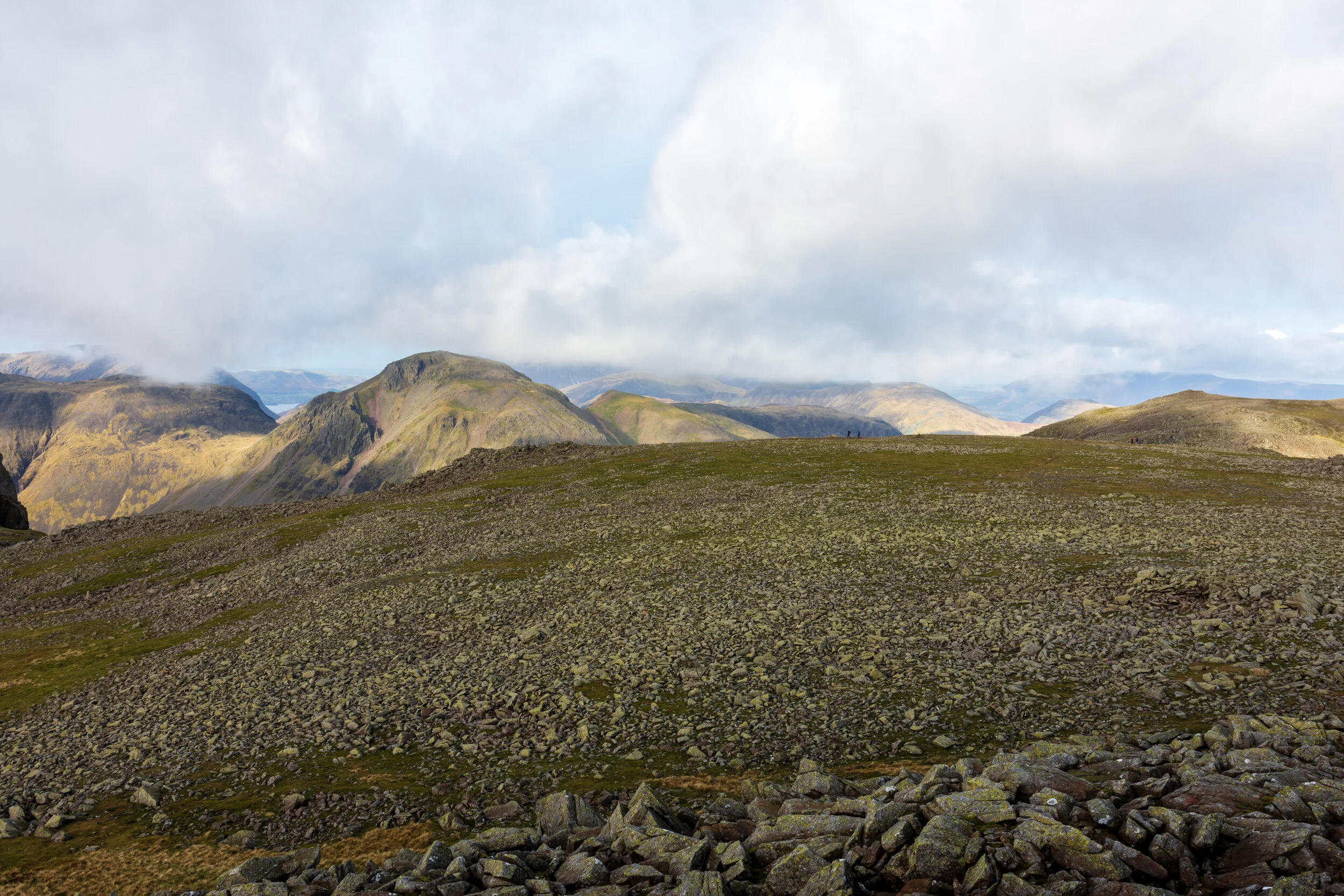
The view over the ‘rock field’ from the Ill Crag summit, back towards the path between Esk Hause and Scafell Pike


