Great Shunner Fell

Approaching Great Shunner Fell
Location: SD 849 973
Getting there: By far best option is to approach from Hadraw. Limited parking, more parking in layby in Simonstone.
Height (at trig point on summit): 716m
Prominence: 297m
Map: OL30 Yorkshire Dales (Northern & Central Area)
The third highest peak in the Yorkshire Dales, Great Shunner Fell remains one of the lesser known fells, despite its prominence over the town of Hawes.
Lacking a distinctive, recognisable shape, the long, gently sloping fell is surprisingly accessible, and the views from the top are truly panoramic.
Great Shunner Fell is situated firmly in the Northern Dales, a few miles north of Hawes, and despite the summit being difficult to recognise, until you’re pretty much on it, the views on the journey to the top are spectacular. There’s a sense of calm here - not just on the fell but also in the valleys, that you just don’t get in the southern Dales. It’s not remoteness per se, but just… calm.
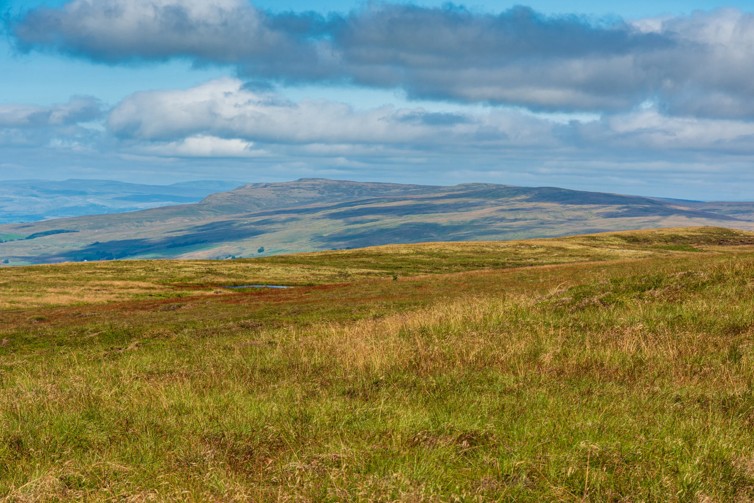
Looking towards Great Shunner Fell from Great Knoutberry Hill
A number of curious-looking structures line the western flank of the fell - the most impressive of which is Long Gill Beacon. This is a misnomer - the structure was likely a shepherd’s cairn rather than a warning beacon.

A cairn along the western flank of Great Shunner Fell
The summit contains a shelter, with the trig point incorporated into it. Blink and you’ll miss the trig point (I did!). The land to the north extends into the remoter regions of Swaledale - you really get the sense of being on the edge of the civilised world.
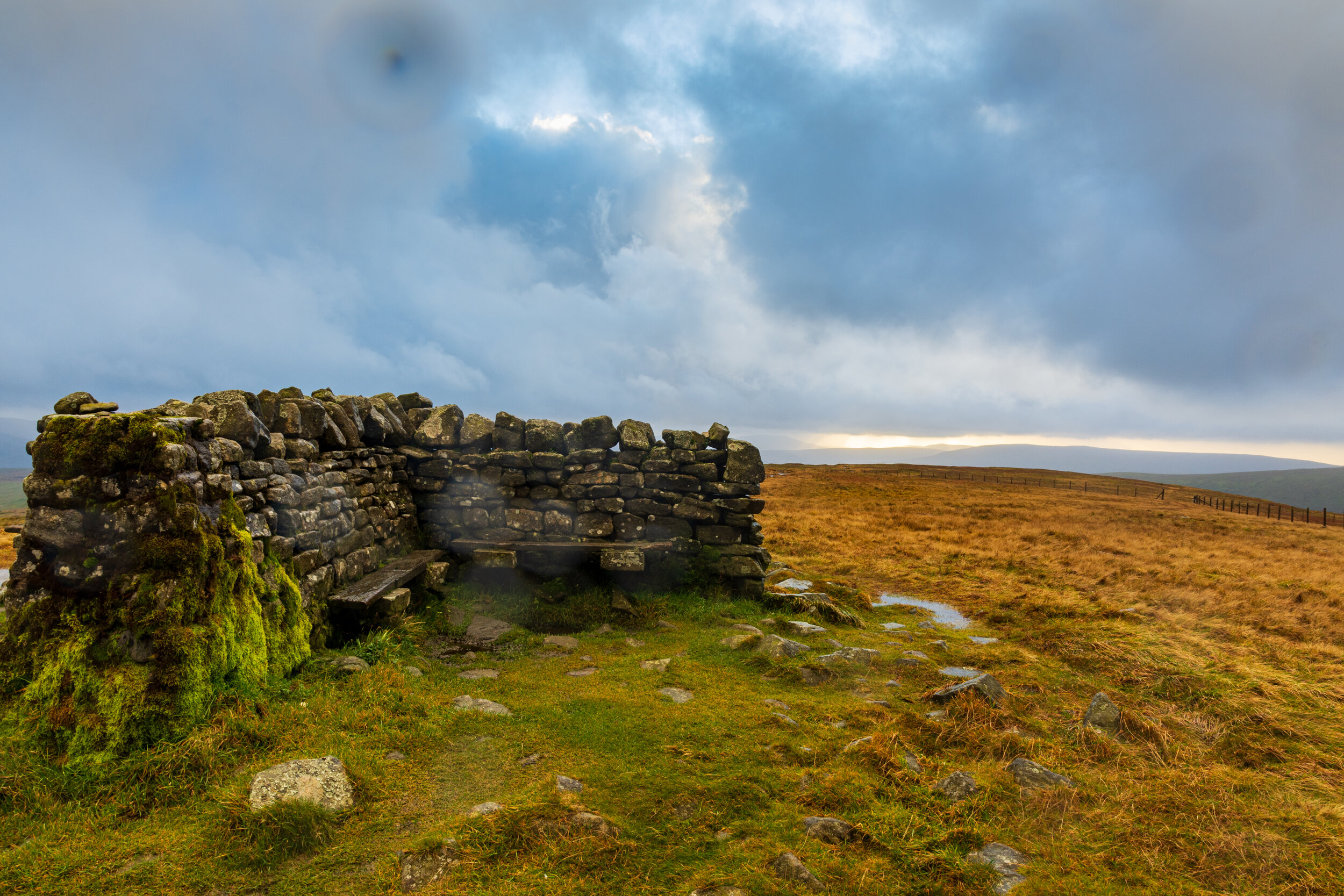
A very wet summit of Great Shunner Fell
The most popular route by far is a ‘there and back again’ journey from Hadraw, along the Pennine way. An impressive walled bridleway leads up the first section, before the path opens up onto the fell. Much of the route is paved - just as well as large swathes of the fell are bog, and hold significant standing water.

Much of the Great Shunner Fell is boggy
For a round route, there aren’t any simple paths to follow - one of the more popular routes is to head east off the summit to Buttertubs, an impressive set of limestone potholes, before continuing on to the neighbouring Lovely Seat.
The Pennine Way also continues to the north from the summit before descending into Muker.


