Great Whernside

Great Whernside, from Little Hunter Sleets
Location (summit): SE 002 739
Getting there: Easiest approaches are from the Wharfedale side, either from Kettlewell, via Hag Dyke, or road through Hunter Sleets. Other options are long route from Scar House Reservoir, via Little Whernside, and partially pathless options over Access Land from Sweet Hill to the south (either via Langcliffe or Mossdale) or Riggs Moor to the east. Large car park in Kettlewell, some parking at Hunter Sleets, and car park at Scar House Reservoir.
Height (at trig point on summit): 704m
Prominence: 288m
Map: OL2 Yorkshire Dales South and Western Areas, OL30 Yorkshire Dales Northern Area
No relation to the more famous summit which heads up the Yorkshire Three Peaks, Great Whernside is still one of the Yorkshire Dales’ highest summits.
The tallest hill in Wharfedale, it is visible (though tough to identify) from several other prominent peaks in the Dales and Nidderdale, where its eastern flank lies.
A common name in the area, ‘Whernside’ is translated from Old English as ‘Millstone Hill’, and like many fells in the area, is topped by a layer of millstone grit, with limestone prominent at lower levels.
There is a decent amount of interest for visitors. The summit is surprisingly rocky and craggy, with an almost other-worldly feel to it. A large cairn and a trig point both mark the highest point, and the views across the Yorkshire Dales and Nidderdale are vast and expansive, with Kettlewell immediately below, the Yorkshire Three Peaks on the immediate skyline to the west, and Scafell Pike visible on a clear day.

Rocky top of Great Whernside, overlooking a hazy Wharfedale
Tor Dike runs 2km of the length of the route between Tor Mere Top, through Hunter Sleets, and up the side of Great Whernside. It is an artificial ditch, built in the Iron Age, dug at the foot of a natural, vertical limestone scar, providing defensive cover for the valley. The natural scar ends on its easter side just after the road, but was extended by man-made stone ram parts,
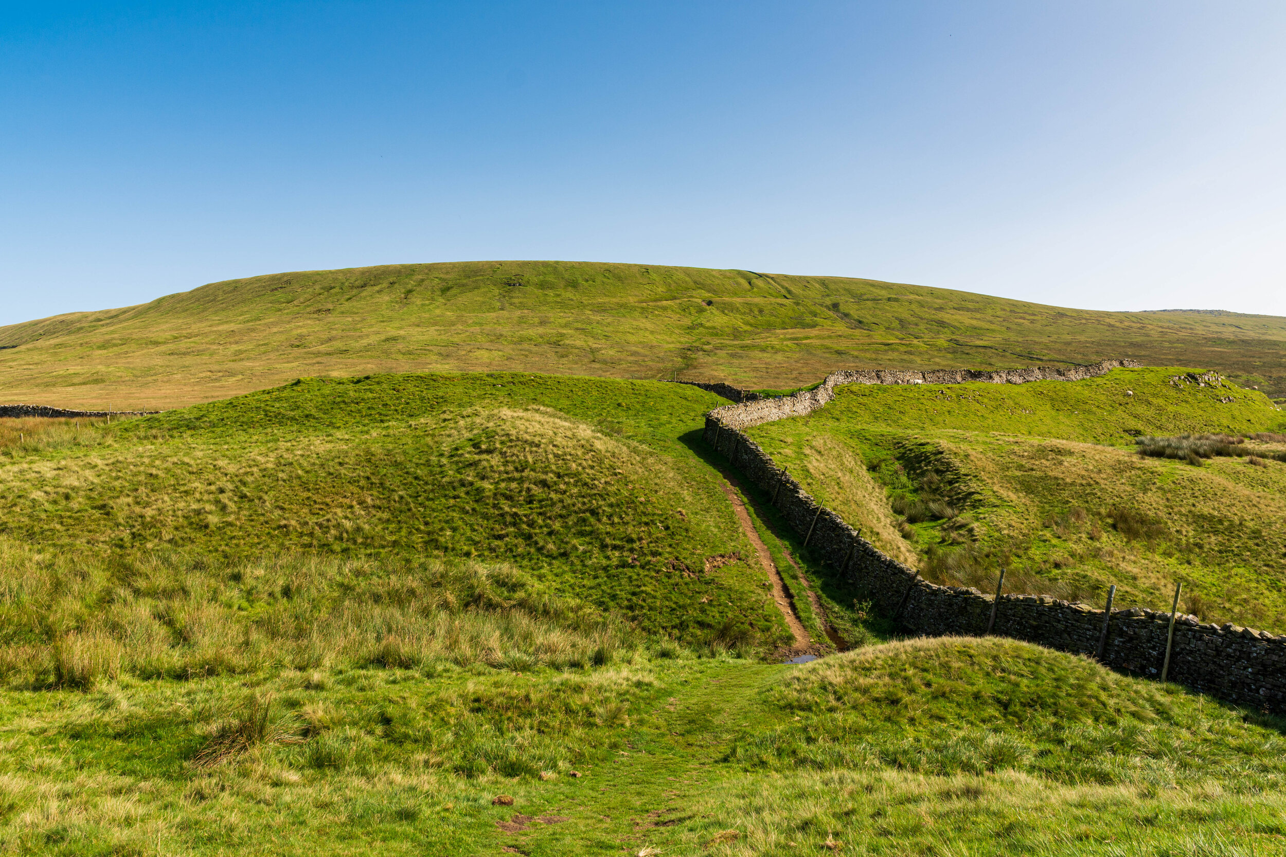
The end of Tor Dike, as the path ascends to Great Whernside
Rounding it off, three air crash sites dot Great Whernside and its daughter peak of Sweet Hill.
The hill forms part of the lesser-known ‘Wharfedale Three Peaks’, of Buckden Pike, Great Whernside and Birks Fell. The hill here is approached from Tor Mere Top, past Tor Dike, and the descent is via Hag Dyke, down to Kettlewell. There’s also an opportunity for a long horseshoe walk - starting at Scar House resevoir, it’s possible to follow a route via Great Haw, Dead Man’s Hill, Little Whernside, Nidd Head, Great Whernside before heading back across the pathless and desolate Riggs Moor.
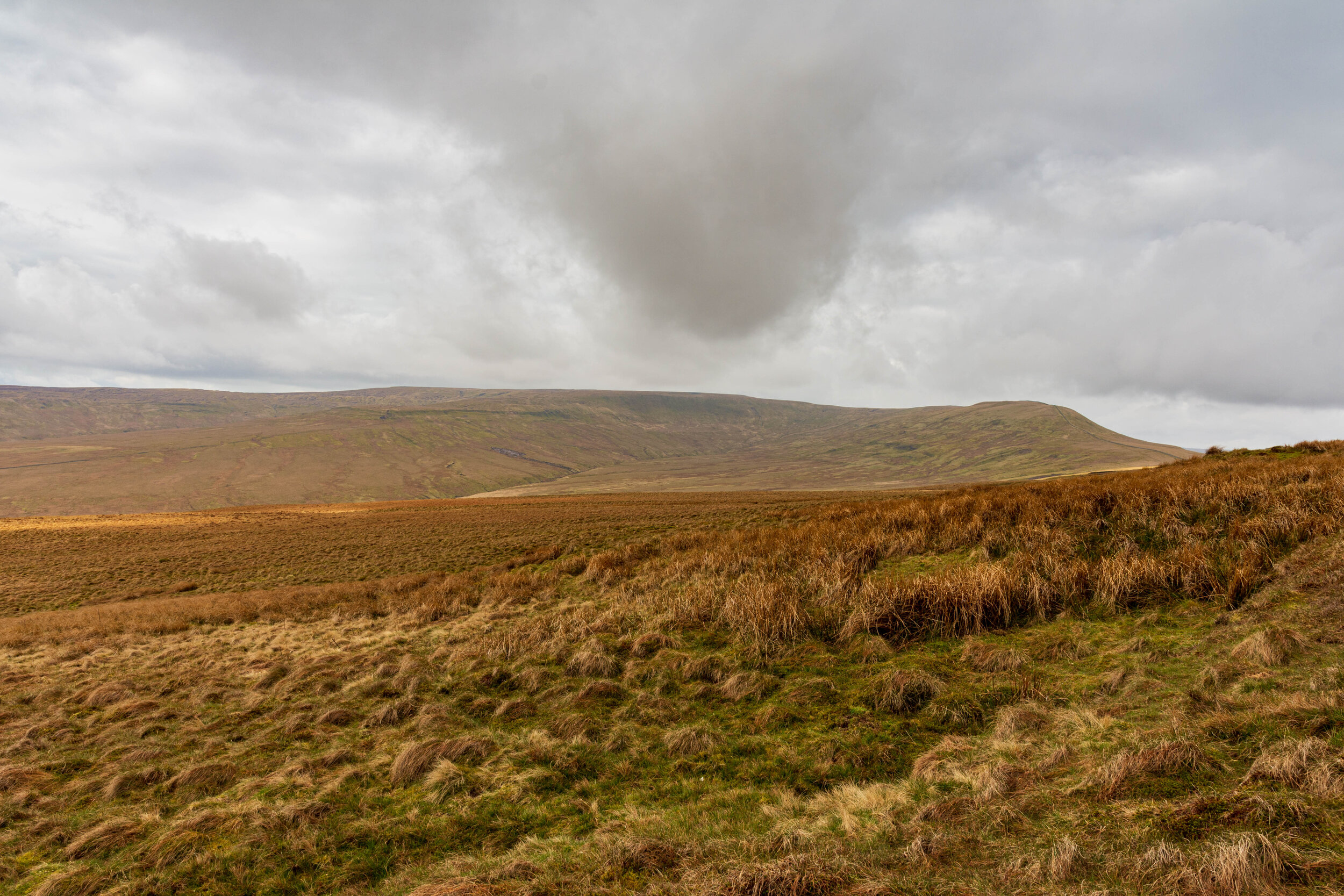
Great Whernside and Nidd Head, from the slopes of Little Whernside
A route through the verdant Dowber Gill is also worth a look, as well as approaching from Conistone, and Sweet Hill.

Hag Dyke and Dowber Gill


