Great Shunner Fell and Lovely Seat
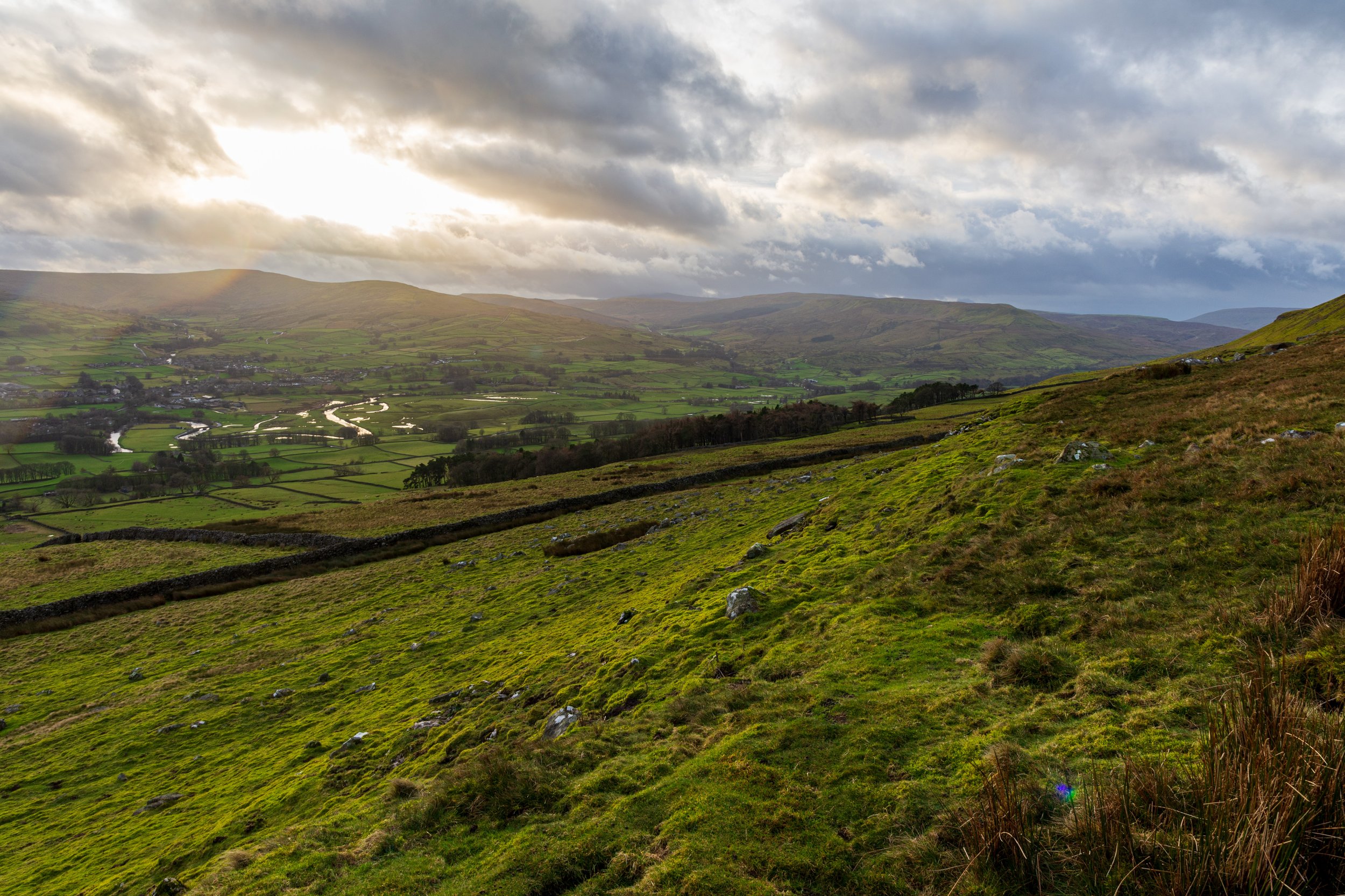
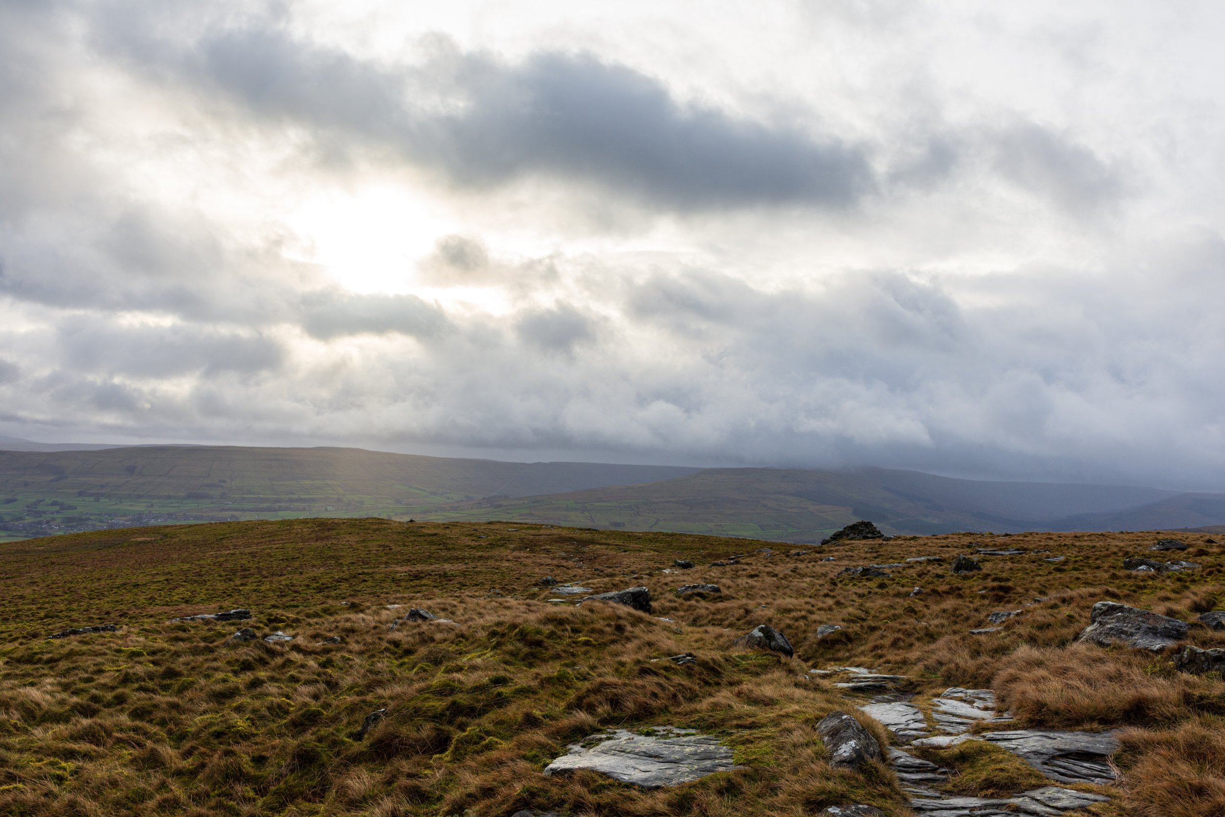
Looking across Wensleydale from the lower slopes of Lovely Seat
An adventure around the quieter northern fells of the Yorkshire Dales, this walk explores limestone potholes, the third highest peak in the Dales and cross a road considered to be one of England’s best driving experiences
Start and Finish: Layby in vilalge of Simonstone, grid ref SD 871 916
Distance: 22km / 13.7 miles
Total Ascent: 759m
Walk Grade: Tough
Highest Point: Great Shunner Fell, 716m (trig point)
Difficulty and Hazards: First part of route is easy path, but becomes boggy on approach to Great Shunner Fell. Descent from Great Shunner Fell and ascent/descent of Lovely Seat crosses open moor and needs some navigation. Steep falls at Butter Tubs pot holes, caution needed
Travel: No obvious public transport to walk start, but possible to get train from Leeds to Garsdale, and then bus to nearby Hardraw. Parking for a few cars in Simonstone in layby
Refreshments: Pubs at Simonstone and Hardraw at walk start/finish, but nothing en route
Accommodation: Simonstone Hotel in Simonstone, more options in Hardraw and nearby Hawes.
Time: allow 7 hours
Map Coverage: OS Explorer OL30 (get it here)
After something of a disaster the first time I tried this route in October 2020, I’d always wanted to try this route again. On that day, I’d set off the wrong way (before I learned how to navigate, I may add!), got absolutely soaked by a freak torrential downpour, and ended up scaling back my day from an epic walk, to a simple ‘there'-and-back’ walk up to the summit of Great Shunner Fell. And on the way down, I found out about the announcement of another imminent lockdown. Great.
With my focus being on big mountains over the last couple of years, retrying this route was pushed down the priority list, but when an opporuntity came up for a winter walk in the Dales just before Christmas, it seemed like a perfect time to give it another go.
The weather was overcast - largely dry, but not overly pleasant, but the drive over from Leeds, via Langstrothdale is always a treat. With daylight at a premium at this time of year, I arrived slightly later than I wanted, ready to walk by 9.30.

The layby in Simonstone, where the Great Shunner Fell and Lovely Seat walk begins
Starting from the layby opposite the Simonstone Hotel, I crossed the road, and followed a public right of way alongside the hotel, past a farmhouse and into a field. Low cloud hung over the other side of Wensleydale - this did not augur well for good views from the summits, but it felt good to have a blast out regardless. I descended through a field to Hardraw and piqued the curiosity of a herd of sheep that followed me, probably wanting their breakfast.
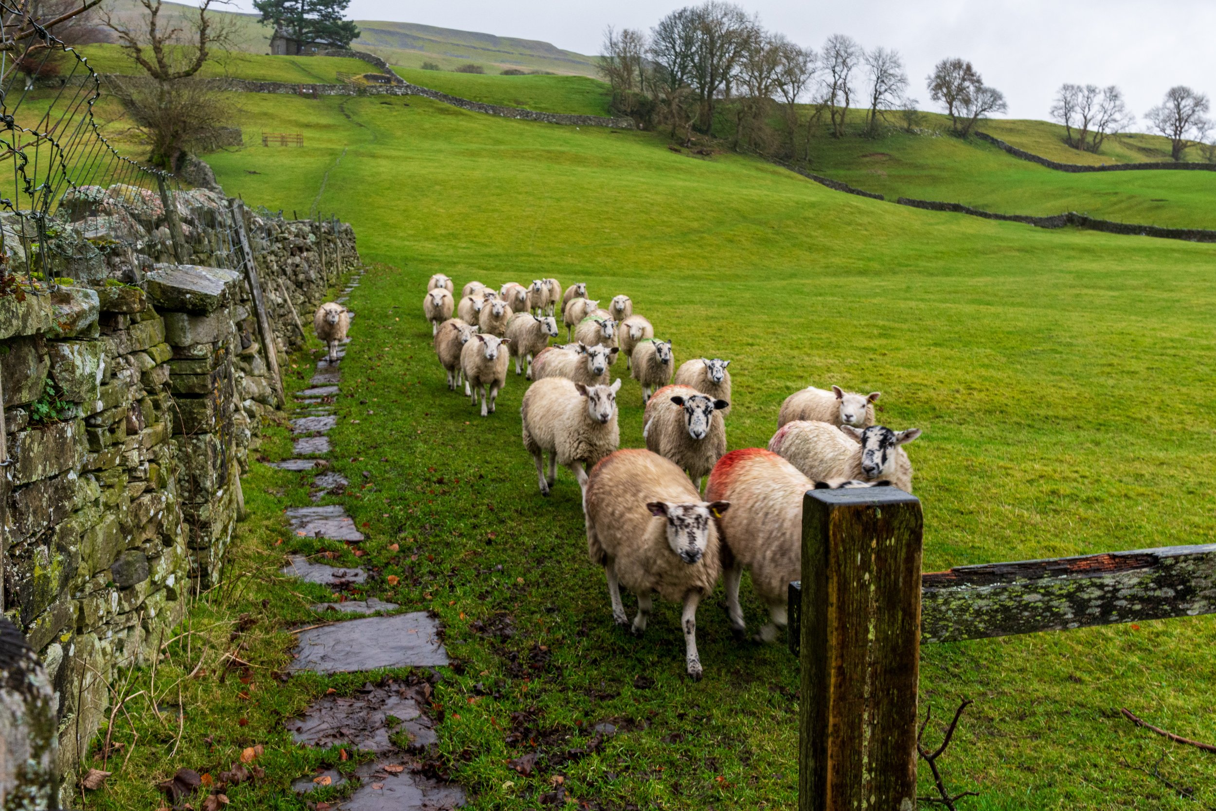
It seems the sheep are quite curious in this part of the Yorkshire Dales!
Hardraw is a quaint little village, with a nice looking cafe and pub. It is also home to Hardraw Force, the highest single-drop waterfall in England, but with daylight limited, I opted to not to take a detour this time.
I took a track to my right, which begins the ascent of Great Shunner Fell. The track was noticeably busy, with people on foot and in vehicles, and a short time later I realised why. Further up the track, a group was heading out into the forest below for a pre-Christmas hunting trip. There was a slightly awkward exchange of hellos as I passed one of the organisers at the rear, perhaps both mindful we were heading in opposite directions and staying out of each other’s way.
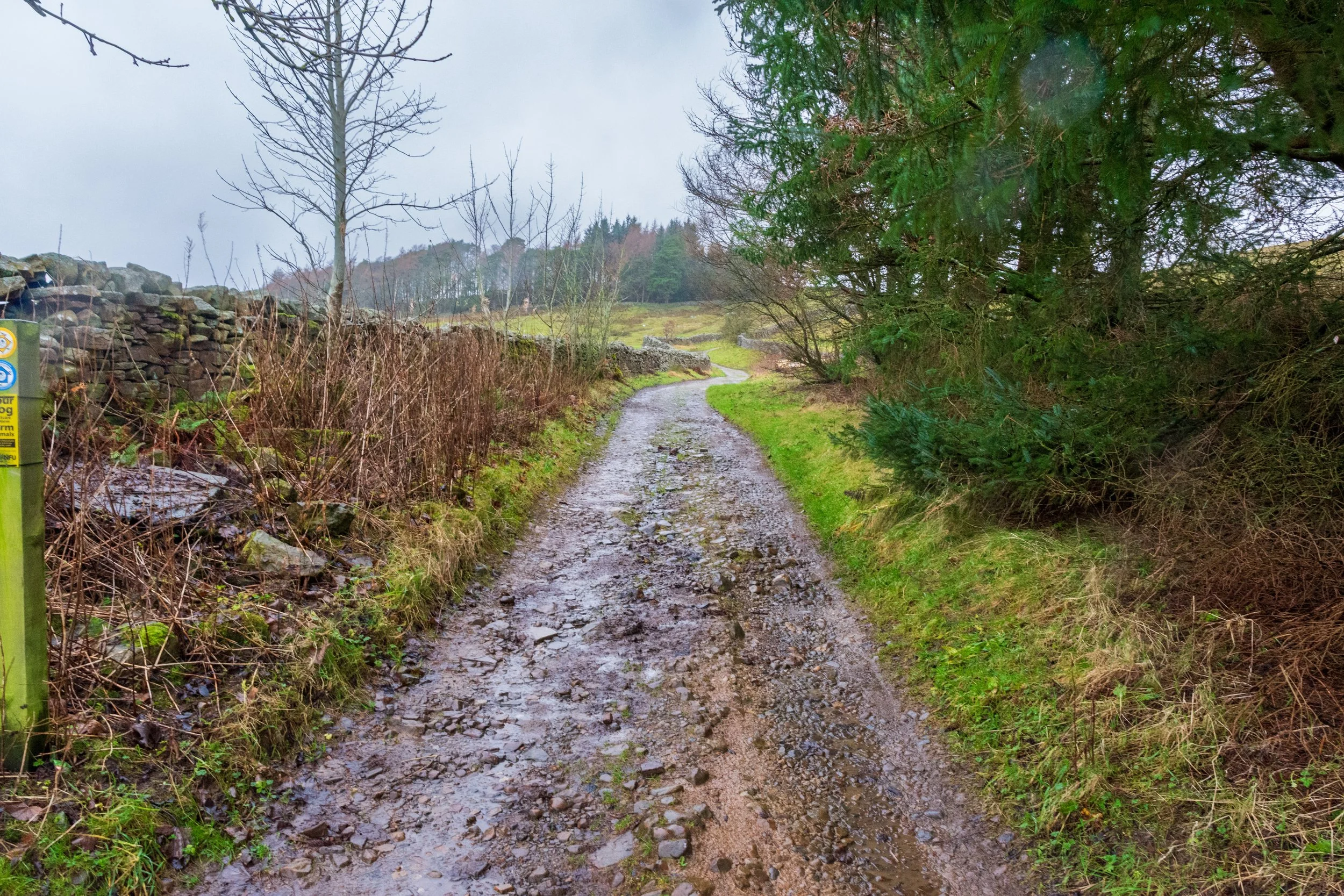
The start of the long track in Hardraw, that eventually leads to the summit of Great Shunner Fell
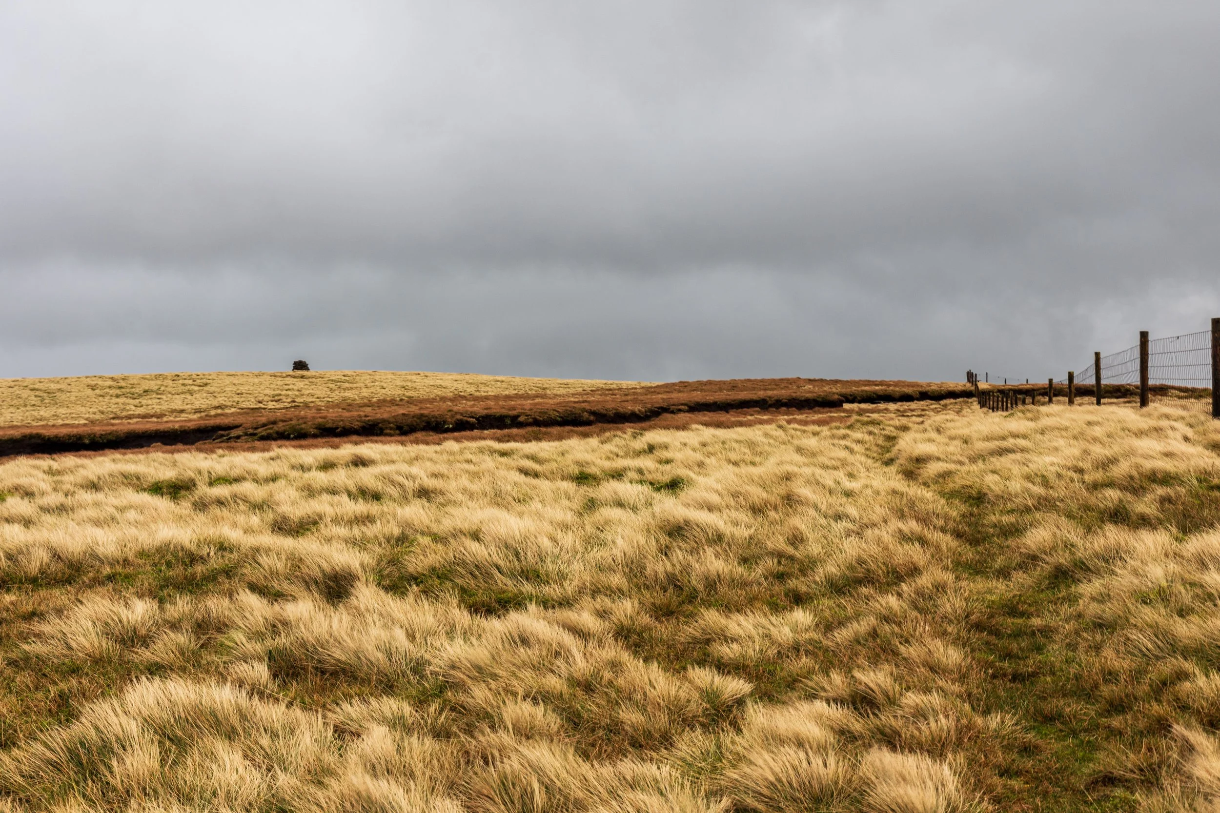
I pressed on up the track. Great Shunner Fell does suffer a litle from being a long slog to the top and also having a summit that is neither always visible nor easily identifieable on the way up. After a kilometre or so I passed the gate onto access land, and the track continued to wind slowly up the hill. The views quickly opened up on both sides, and across the valley to the right, my later challenge of Lovely Seat came into the view.
Eventually, the path rose more steeply as it navigated the remains of a quarry - a rare break in the monotomy of the climb, but soon after, another gate signalled the end of pastureland and the start of open moorland.
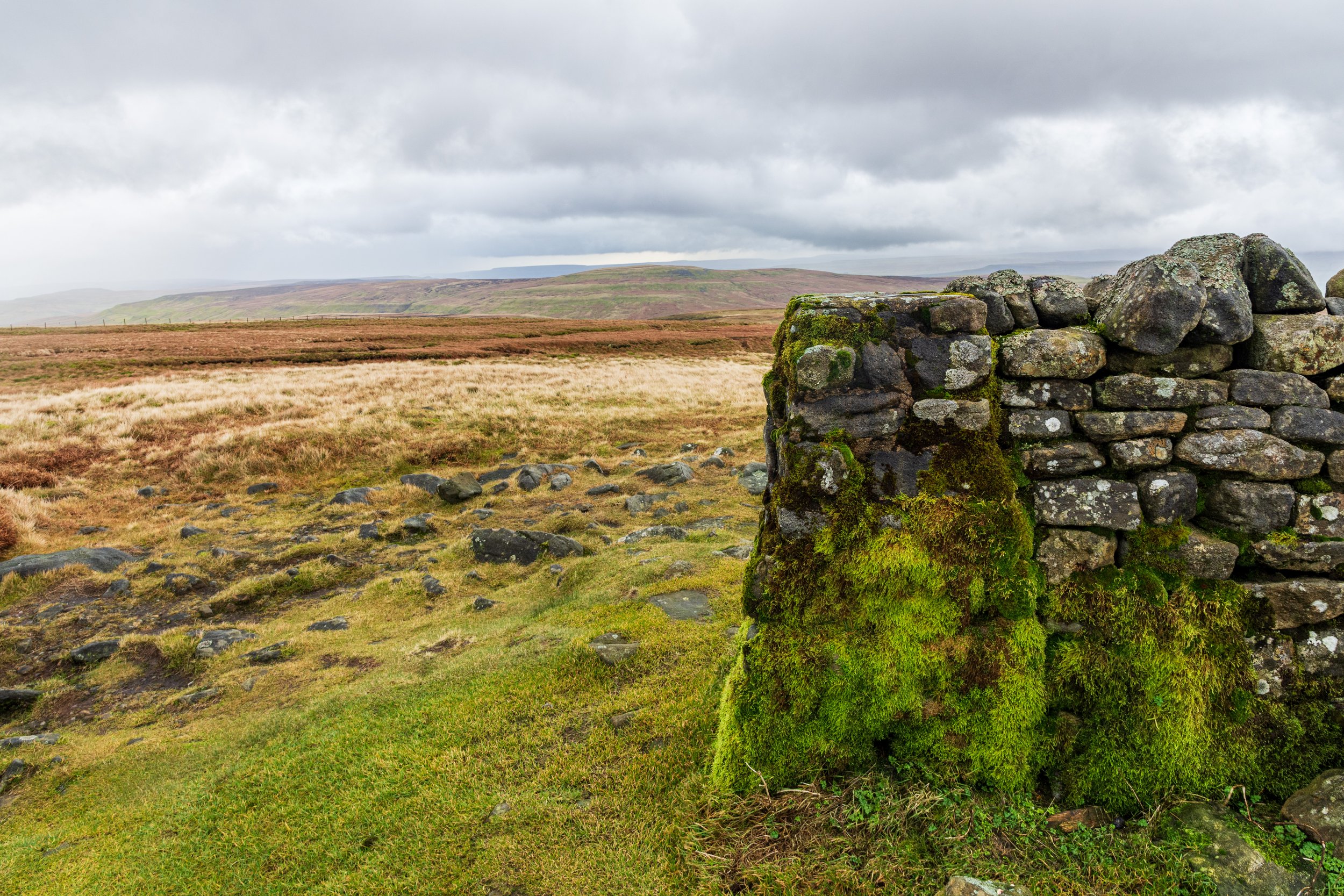
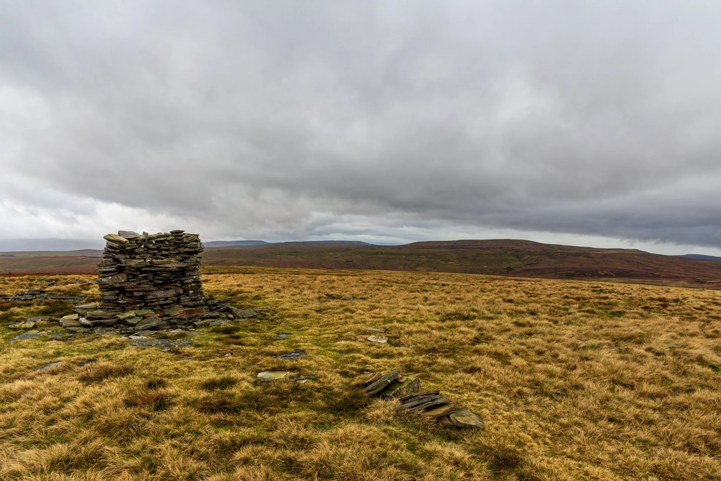
After the gate, I took a fork to the right to follow a smaller track to continue on to the summit. The ascent evened out and path started to become boggy now, making the next few kilometers slow-going at times. A number of small cairns and beacons lined the broad ridge, along with evidence of historic coal mining activity.
Some of the various cairns and beacons near the quarry, on the approach to the summit of Great Shunner Fell
Finally, the path ascended quite sharply, signalling the arrival at Hearne Head, the last climb to the summit. 10 minutes later, I was on the final gentle slope and the summit shelter came into view.
The views from the summit can be extensive on a clear day, reaching down to Ingleborogh and Whernside in the south, and up to Cross Fell to the north, but today were a litle more limited. Still, there was enough of a view to get a sense of scale, and realise just how LONG that walk up had been.
The summit itself is served by a shelter. The first time I came up here, I struggled to find the trig point, until I realised it is actually built into the shelter!
I see the shelter, but where’s the trig point? The combined shelter and trig pillar on the summit of Great Shunner Fell, with Lovely Seat in the background
I surveyed the next part of the route in front of me. I was now going to leave the well-trodden track of the Pennine Way, and head into the wild moors to my East. Lovely Seat was still clear in front of me, there was just the small matter of descending Great Shunner Fell, and then climbing back up again.
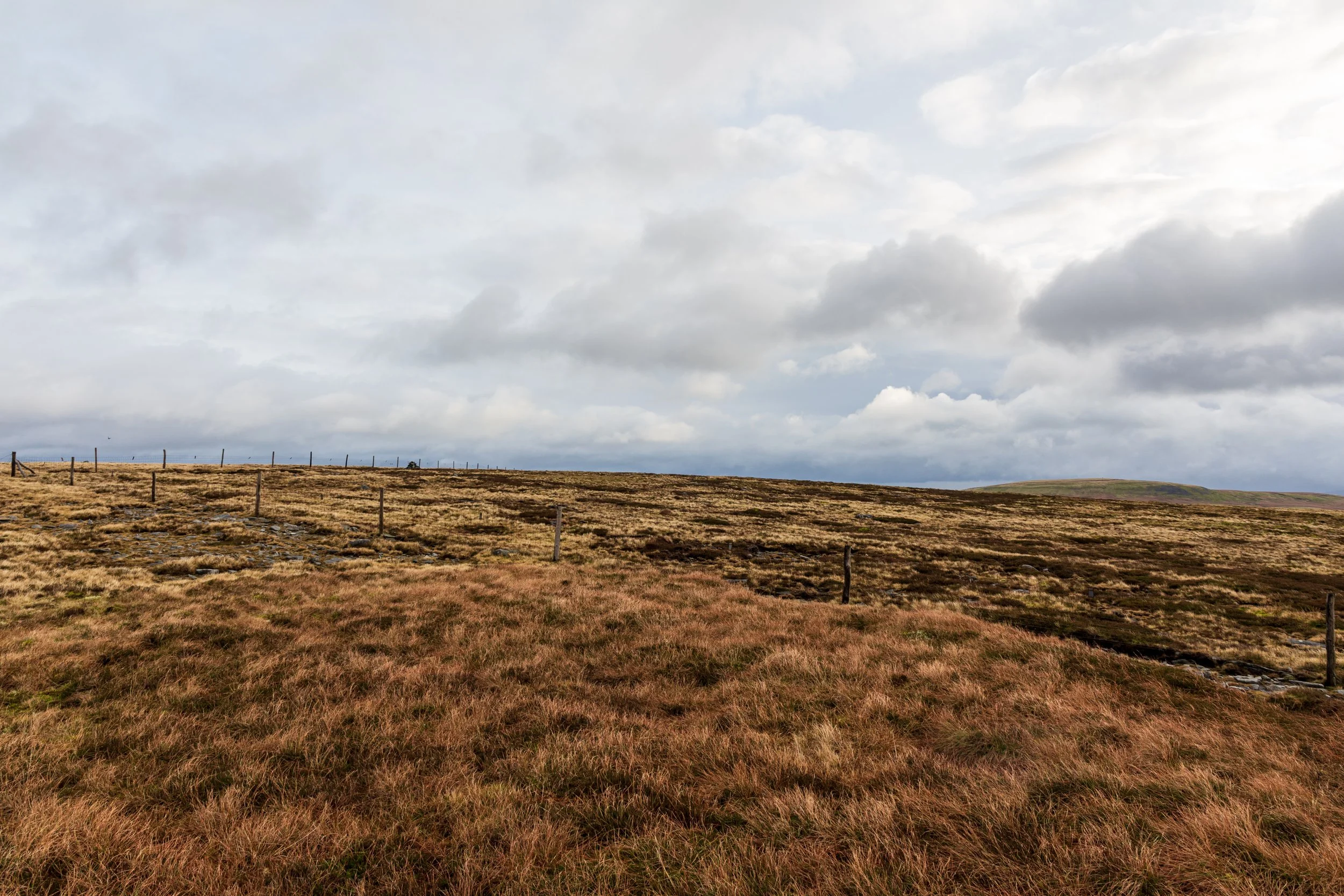
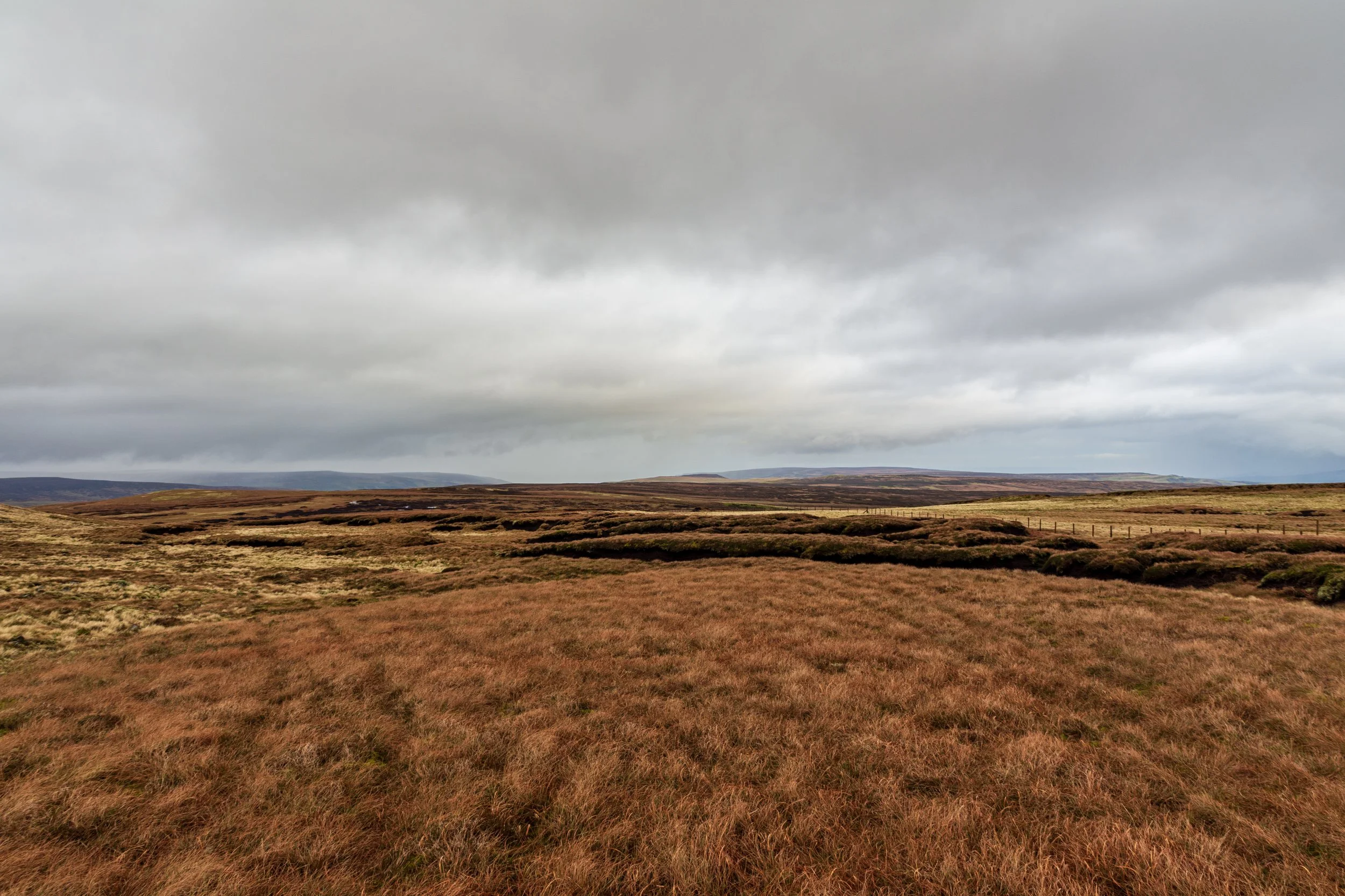
There was the faint line of a track across the moor, which I followed for some way. Eventually I knew I’d have to cross the fence to my left in order to head to the subsidiary summit of Little Shunner Fell. The track started to fade in and out, but my route more or less followed the fence to my right to Little Shunner Fell, and then I pressed on, with the winding tarmac strip of the Buttertubs Pass now in view. I slowed a few times to cross unavoidable peat hags.
The subsidiary ‘peak’ of Little Shunner Fell, marked by a small cairn
The fence and path suddenly turned sharply to the right towards a beacon further down the hill - I looked at the map, and realised that Butter Tubs was straight ahead, so I left the path and descended the hill. As the descent became steeper, the pot holes and car park came into view.
The Butter Tubs are a series of impressive limestone potholes, falling sharply into chasms in the earth. Apparently dairy farmers heading across from Swaledale to the market at Hawes would stop here to rest, and lower their butter into the potholes in order to keep it cool on hot days, leading to their name. Today the rock was damp, and mindful of the recipe for disaster that slippery limestone and sharp drops can pose, I elected to stand a step or two back.

One of the main 'Butter Tubs’
I passed a couple having their lunch in their car in the layby next to Butter Tubs, and then crossed the road. From here, there is no obvious path to start the ascent up Lovely Seat. The first obstacle to overcome was a stream cutting steeply into the hillside - I followed this upstream briefly until I found a suitable point to descend and cross.
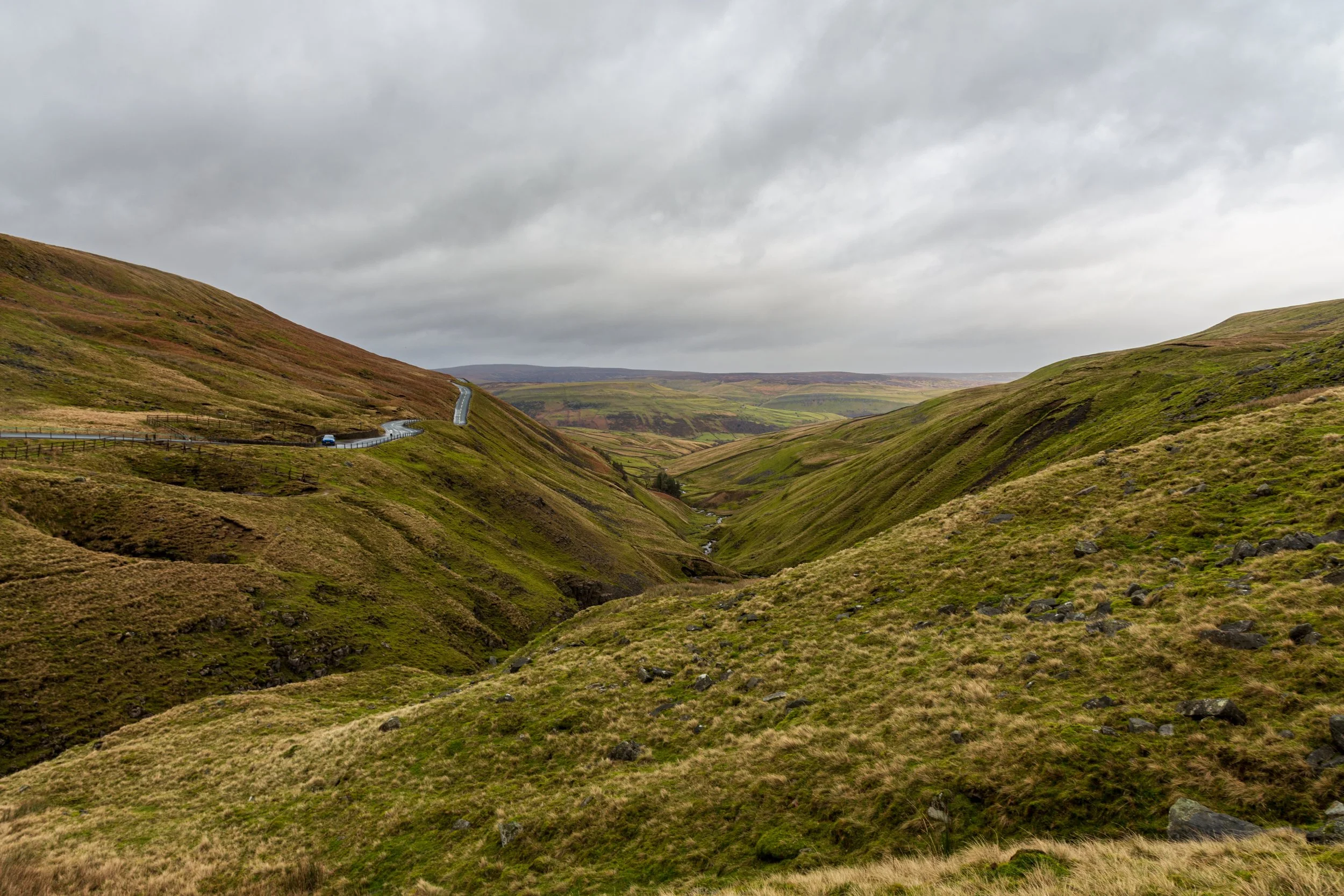
Looking down the valley towards Swaledale
Now on the other side, I started to zig-zag up the steep slope in front of me. The slope started to ease, revealing more peat hags and a fence climbing the hill to my right. A quick look at the map showed me that the fence would lead all the way to the summit. A number of large birds circled overhead, which were too dark to identify - moments later it became clear what they were interested in, as a small vole scurried into a hole in the ground before me.
Following the fence to the summit of Lovely Seat
I managed to navigate around the peat hags, and in what felt like no time at all, the summit came into view.
The summit of Lovely Seat is marked by a cairn and a pile of stones - maybe the ‘Lovely Seat’? The view of Wensleydale, ever present on the route so far, stretched out to my right, and the tops aroubd Swaledale rose to my left. Behind me, the shelter on top of Great Shunner Fell was a blip on the horizon, and in front of me lay a huge expanse of open moorland.
The ‘seat’ of Lovely Seat?
I scanned the bleak landscape before me for any sign of a path, but nothing obvious stood out. I had an option to head straight down the hill to my right, this was the most direct route back for sure, but the map showed several small steams filling the terrain. Instead I opted to head south east across supposedly drier ground to a hunting lodge, allowing me to circle back around on a track.
Choose your path… navigating the vast boggy and open moorland, from the summit of Lovely Seat
I set off through the heather, crossing a fence and then into the vast moorland. I picked up what looked like a track heading in the right direction, but it was short-lived and soon it faded into its surroundings like these small tracks often do. I pressed on, slowly, navigating the occasional peat hag, until I spotted a line of grouse butts to the south. I headed to these and picked up a very muddy path that then turned into a much more substantial gravel track, which I followed until it met another small gravel road. The hunting lodge was now in the distance to my left, and I decided to follow the track towards it, before turning right and starting on the long path back towards Sedbusk.

The hunting lodge comes into view. The going gets a lot easier now
Wensleydale stretched across to the horizon on my left, and the track was a welcome change from battling the heather and hags. The track started to descend and eventually bent to the right (with a fork off to the left), and I suddenly realised I was on familiar ground.
On my previous attempt at this route in 2020, I had somehow ended up doing it in the opposite direction, and this fork was how far I had made it before the biblical rain had come in. My eyes fixed on a wall that I had hunched behind, trying in vain to protect myself from the elements.
I knew it wasn’t far now.

Passing the spot where I had abandonned my previous attempt of Lovely Seat and Great Shunner Fell
The track now headed west, following the line of the hill. Spoil heaps rose to my right - the tell tale sign of a former lead mining industry up here, and I crossed a stream before the path climbed again. Hawes now lay in the valley below. After a junction, the track banked sharply to the left to head down the hill, however an interesting outcrop in front of me piqued my curiosity. This was Smuker Hill, a small summit that stood watch over Sedbusk and Hawes. I was tired now, and almost walked past it, but my curiosity got the better of me, and I decided to make one last push to its summit.
I’m glad I did. A photogenic pile of rocks marked the summit, and the views of Wensleydale below were glorious.
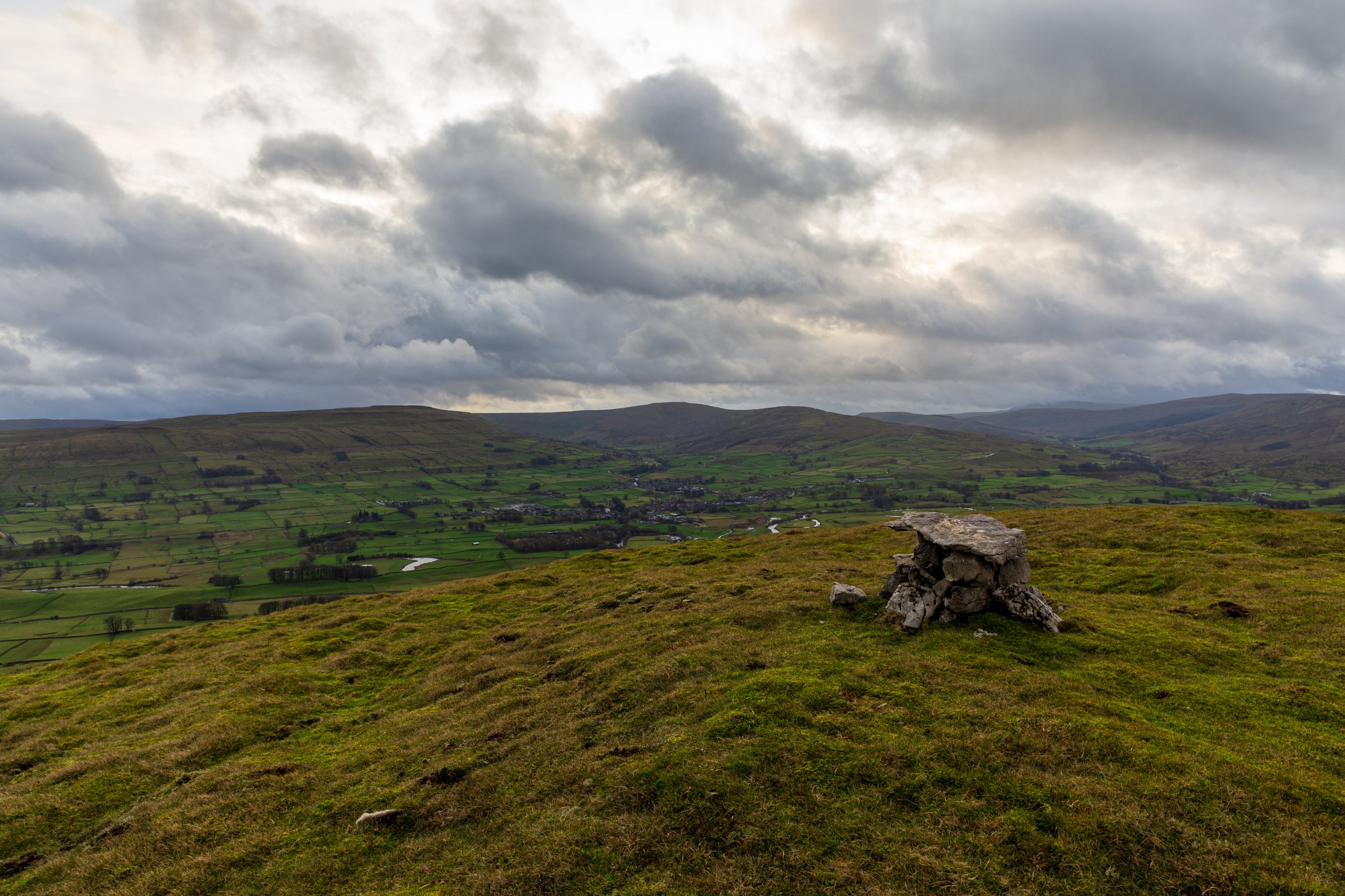
Smuker Hill, on the lower slopes of Lovely Seat, is well-worth a detour
Rather than backtrack, I continued on, descending the other side of Smuker Hill, and then navigating a rocky edge, before joining a path which took me back down to Sedbusk.
From Sedbusk, it is just a traipse across fields, to Simonstone, following a public right of way. Like the last time I followed this path, a number of dead rabbits unfortunately lined the route - there is an option to travel via road from Sedbusk to Simonstone if you want to avoid this section.
Back before dark, and still with time to visit the Wensleydale creamery on the way home!
One of the lights below me was home, and I longed for its warmth and comfort. I had now gained a sense of perspective of the remaining part of the walk - I had walked this part of the route, from home, countless times before. I knew I was still an hour from home. But I was on familiar ground. I knew every step of the way.
After passing the trig point, I descended to Rawdon, and then through muddy fields, skirted Horsforth, before crossing the A65 once more. There wasn’t really much to see now, with my surroundings in pitch black, as I crossed the River Aire, followed the canal back to Rodley, and made the final short but sapping ascent into Farsley and home.